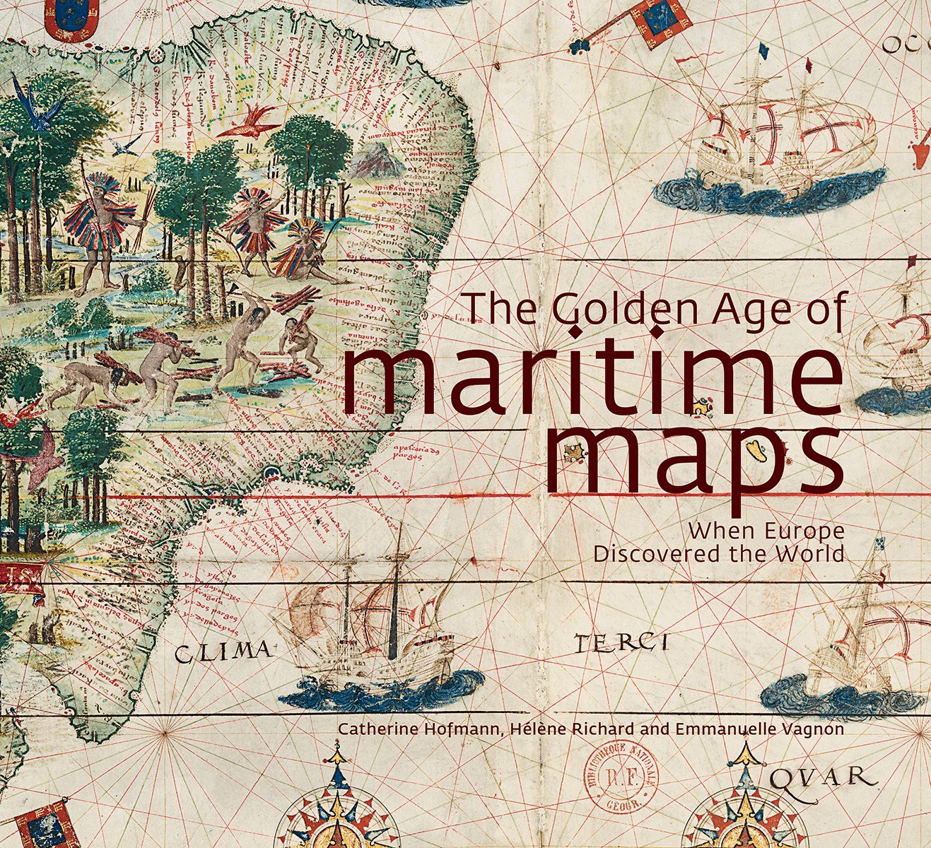
The Golden Age of Maritime Maps: When Europe Discovered the World
Maps. Where do I even start? Maps are personally one of the most misrepresented pieces of art, in my opinion, but an art that has held a continual place in the world for many centuries. While everything nowadays is mainly digitized, the maps of history were once beautifully crafted images that served more than just a source for navigation. Many had intricate drawings and illuminations on them, while others showed where drownings took place and sea monsters lived, and often displayed the power of a kingdom depicting regal graphic codes, elaborate coats of arms, and even decorative stories, such as religion and imaginary lands. Containing over 250 full covered pages within this beautifully designed coffee table edition book, it is difficult to not pick it up and be sucked into this historical journey of the golden age of map making that told the story of European exploration around the world.
You will truly find a new appreciation for those who traveled by land and sea without the aid of modern technologies and get a deeper sense of their inner thinking of what the world was like and just how imaginative people truly are. This would be a great gift to a schoolteacher or even as addition to your personal library. Just make sure you are able to place it somewhere people can look through it. They will thank you!
| Author | |
|---|---|
| Star Count | 5/5 |
| Format | Hard |
| Page Count | 256 pages |
| Publisher | Firefly Books |
| Publish Date | 2013-Sep-12 |
| ISBN | 9781770852389 |
| Bookshop.org | Buy this Book |
| Issue | May 2014 |
| Category | History |
| Share |


Reviews
There are no reviews yet.